 Join Group
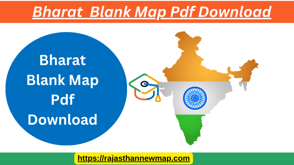
Bharat Blank Map Pdf Download India: Overview and Map Utility
Bharat stands out as one of the largest countries globally, both in terms of geographical area and population. It is the seventh-largest country by area and the second-most populous. India shares its international boundaries with six countries: China, Bhutan, Bangladesh, Pakistan, Burma (Myanmar), and Nepal. Geographically, it is divided into 28 states and 8 union territories. The country is bordered by water on three sides, with the Arabian Sea to the west, the Bay of Bengal to the east, and the Indian Ocean to the south.
Bharat Key Geographical Facts
- Total Area: 3.28 million square kilometers
- Number of States: 28
- Number of Union Territories: 8
- Capital City: New Delhi
- Coastline Length: 7,517 kilometers
- Neighboring Countries: China, Bhutan, Bangladesh, Pakistan, Burma, Nepal
Uses of the Bharat Outline
- Educational Tool: Ideal for geography lessons in schools and self-study at home.
- Learning Aid: Helps children and students learn to label and identify various physical and political features of India.
- Custom Activities: Can be used for coloring, marking states, union territories, major cities, regions, rivers, and mountain ranges.
- Interactive Learning: Parents and teachers can guide children in memorizing the international boundaries and other geographical features.
Practical Applications Bharat Blank Map
- Geography Lessons: Useful for teaching the structural lines and borders of Bharat , aiding in the understanding of its geography.
- Home Study: Parents can use the map to help their children learn about Bharat geography in a fun and interactive way.
- Activity Base: Serves as a foundation for various geography-related activities, such as labeling and coloring.
This blank map is freely downloadable and printable, making it a convenient tool for various educational and learning purposes. It provides a clear guide to understanding the borders and geographical features of India.
Bharat Blank Map Pdf Download Summary Table
| Fact | About Bharat |
|---|---|
| Total Area | 3.28 million square km |
| Number of States | 28 |
| Number of Territories | 8 |
| Capital City | New Delhi |
| Coastline Length | 7,517 kilometers |
Bharat Blank Map Pdf Download