 Join WhatsApp Group

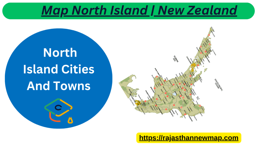
Map North Island | New Zealand
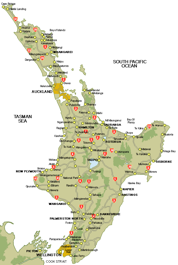
Look through our Map of North Island New Zealand. Use our Map North Island to find out the names of the North Island cities and towns that you will be driving through. Many of the place names are Maori. Have fun getting your tongue around the words, then talk to the locals to find out how they pronounce the town names.
North Island Themed Highways For more information visit Twin Coast Discovery Highway: This route beginsIn Auckland and travels north, tracing both coasts to Cape Reinga and back. Highlights include a procession of beautiful beaches, opportunities for fishing, surfing, diving and dolphin encounters; cultural experiences at Waitangi; forest hikes and craft shopping. Pacific Coast Highway: Linking The Coromandel, Bay of Plenty and Eastland with Auckland in the north and
Hawke’s Bay in the south, covering spectacular coastlines, forest wilderness and grape growing districts. The cities of Tauranga, Gisborne, Napier and Hastings will satisfy your urge to wine, dine and shop. Thermal Explorer: Running between Auckland and Hawke’s Bay and travelling through the volcanic centre of the island. Discover the Waitomo caves, geothermal areas
in Rotorua and Lake Taupo, the amazing Tongariro National Park and Hawke’s Bay Wine Country. When combined, the Pacific Coast Highway and Thermal Explorer are known as The Great New Zealand Touring Route. Forgotten World Highway: While it’s only 150 kilometres long, the Forgotten World Highway (otherwise known as State Highway 43) is a memorable driving journey. Built on 19th century bridle paths, the highway connects Taumarunui to Stratford. The route wriggles its way over four mountain saddles, through an eerie one-way tunnel and along a sinuous river gorge.
These Map of North Island maps show points of interest, major roads, and driving distances between locations.